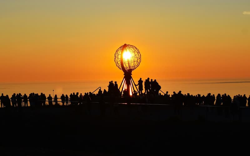
 Norway & Svalbard
North Cape
A 307-metre cliff at 71° north where Europe’s road network ends and the Barents Sea begins — reached from the fishing port of Honningsvåg.
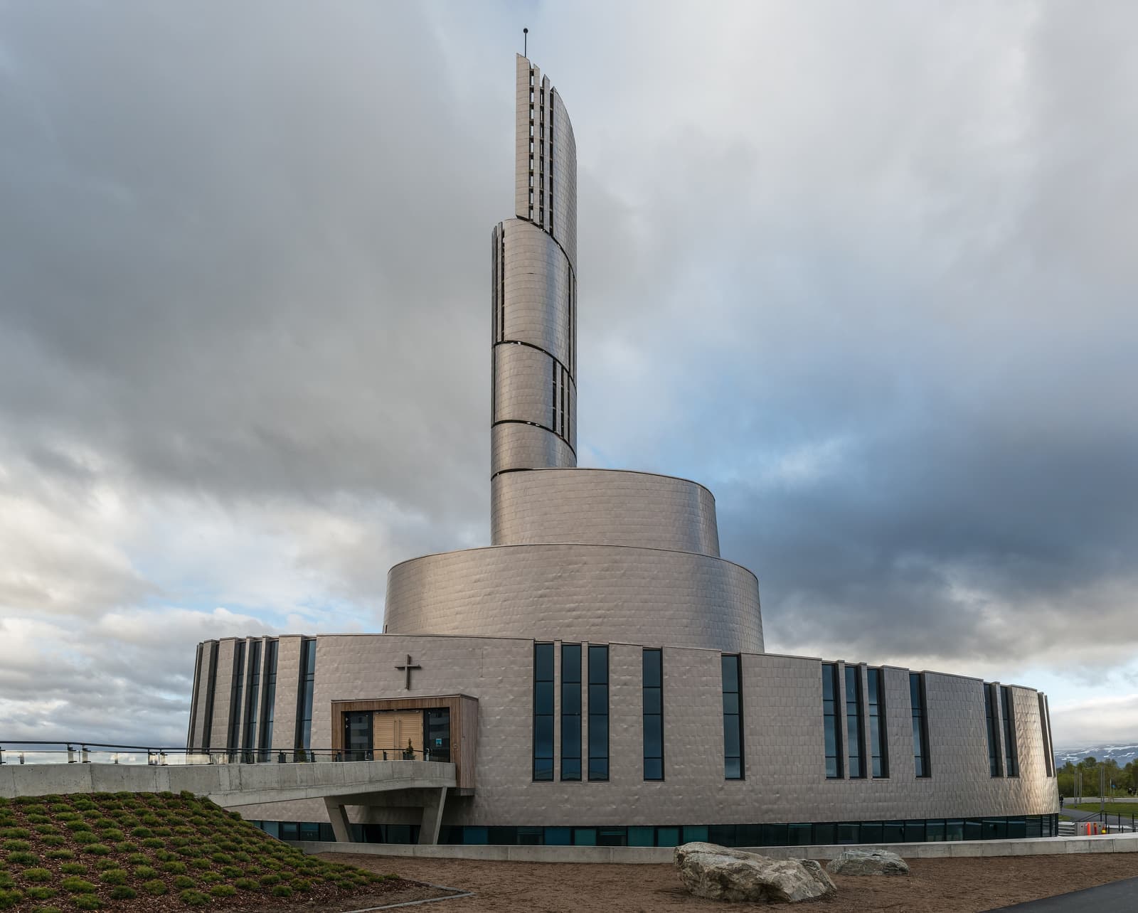
Four reasons to stop in Alta, two in Hammerfest, and the sky above both.
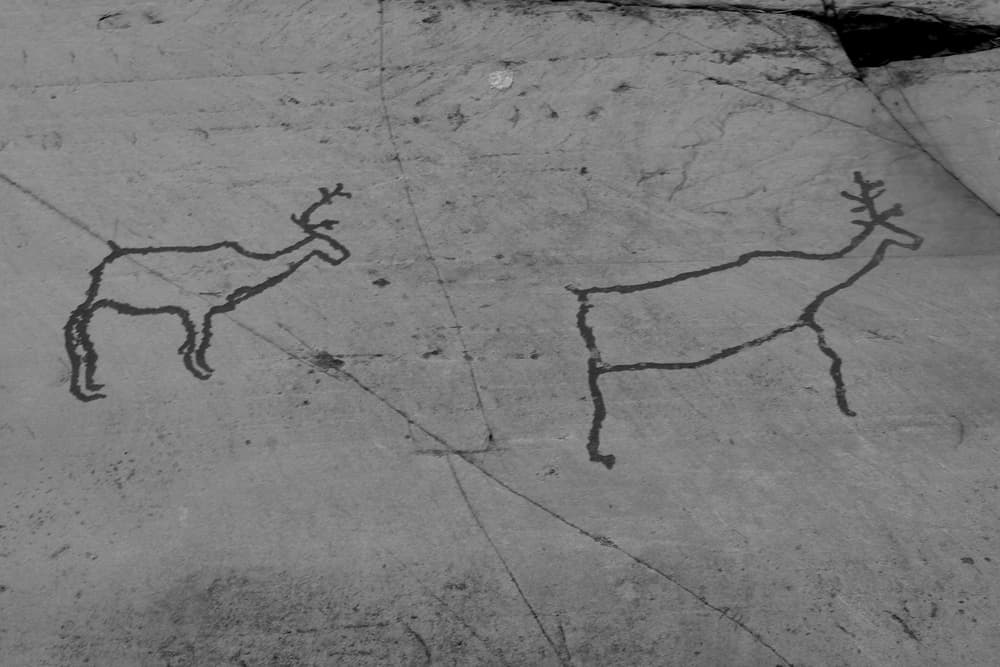
At Hjemmeluft, on the shore west of the centre, boardwalks lead past thousands of figures pecked into the rock between about 7,000 and 2,000 years ago — reindeer, elk, bears, boats and hunters. It is northern Europe’s largest collection of hunter-gatherer rock art and a World Heritage Site. The carvings are under snow in winter, when only the indoor museum is open.
Alta’s landmark, consecrated in 2013: a titanium-clad spiral rising to a 47-metre tower, designed to catch the light of the sky. Inside are a bronze figure of Christ and, in the basement, an exhibition on the aurora.
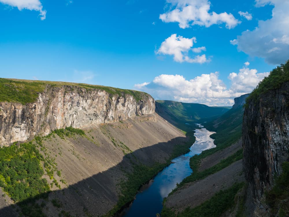
South of town the Alta river has cut one of northern Europe’s largest canyons, up to several hundred metres deep, through the plateau. It is reached by a marked hike across the tundra in summer or by riverboat part of the way. A dam built here in the 1980s, after years of protest, became a turning point for Sami rights in Norway.
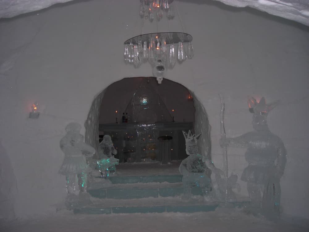
Rebuilt from snow and river ice every winter, about 20 km up the valley, with ice sculptures, an ice chapel and an ice bar. Day visitors can tour it; overnight guests sleep on reindeer hides at around minus 4 to minus 7°C. It usually opens from just before Christmas until early April.
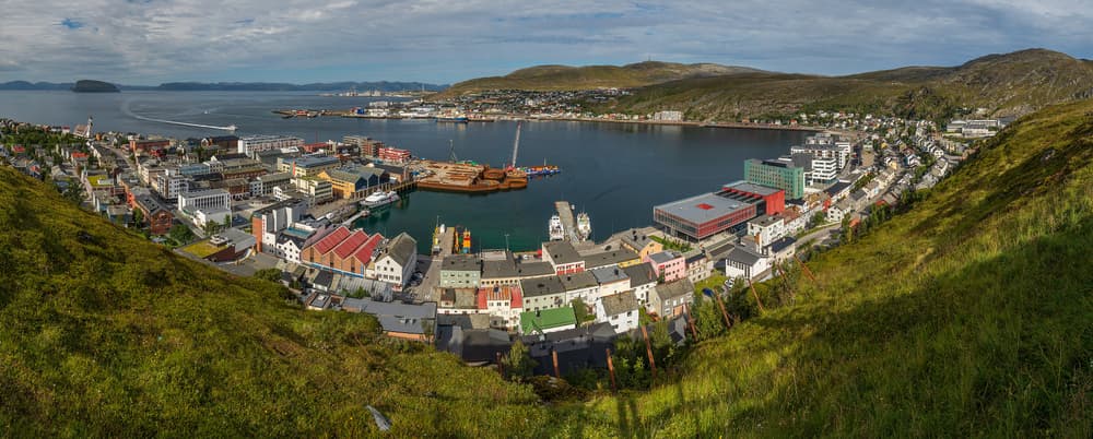
Granted town status in 1789 and burned to the ground in 1944, Hammerfest was rebuilt in plain post-war style around its harbour. Visit the Museum of Reconstruction for the story of the forced evacuation of Finnmark, sign up at the Royal and Ancient Polar Bear Society, and climb the zigzag path to the Salen viewpoint above the town.
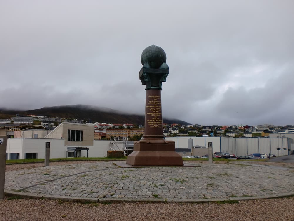
On the Fuglenes peninsula across the harbour, a granite column topped with a bronze globe marks the northern end of the Struve Geodetic Arc, a chain of survey points measured from 1816 to 1855 to determine the size and shape of the Earth. The arc is a World Heritage Site shared by ten countries.
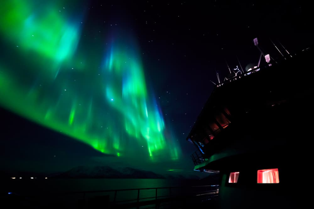
On clear nights between September and early April the northern lights are regularly seen from the edge of Alta itself. From about November to January, when herring enter the fjords, boats also go out from the Alta area to look for orcas and humpback whales.
Norway & Svalbard A 307-metre cliff at 71° north where Europe’s road network ends and the Barents Sea begins — reached from the fishing port of Honningsvåg.
 Norway & Svalbard
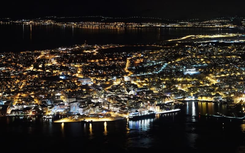
The lively capital of Arctic Norway: northern lights and whales in winter, midnight sun and fjords in summer, and flights onward to Svalbard.
 Norway & Svalbard
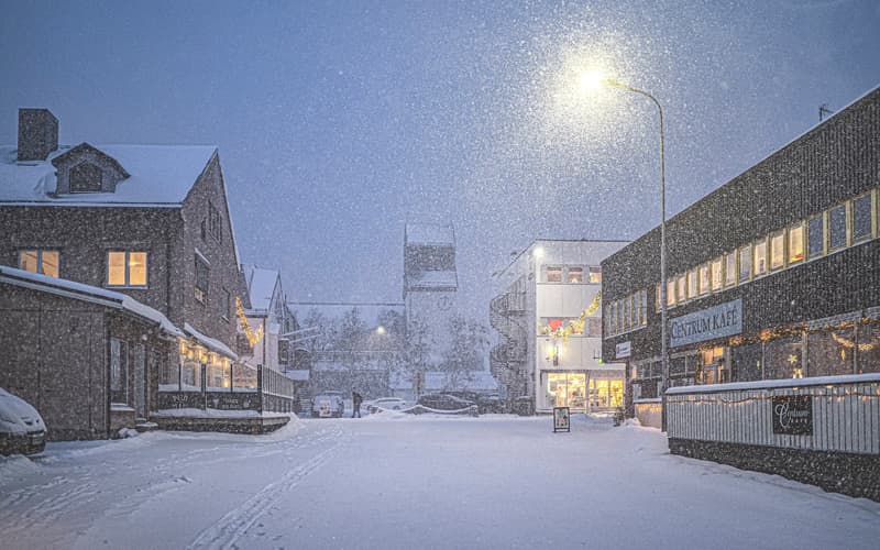
The end of the Norwegian coastal route, a few kilometres from Russia and Finland: king crab, a year-round snow hotel, border history and the bird cliffs of Varanger.
Compare real-time prices and availability on GetYourGuide. Most tours can be cancelled free of charge up to 24 hours ahead.