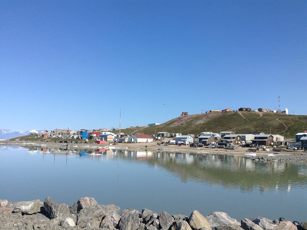
Canada holds more Arctic coastline than any other country: the mainland shore of the Beaufort Sea, the maze of islands and channels known as the Northwest Passage, Baffin Bay and, further south, Hudson Bay. Almost all of it is Inuit land. Nunavut, the territory created in 1999, has about 40,000 people in 25 communities, none linked to another — or to the rest of Canada — by road. Travel here means small aircraft, expedition ships and local guides, and prices to match.
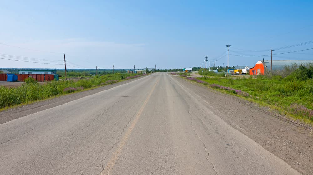
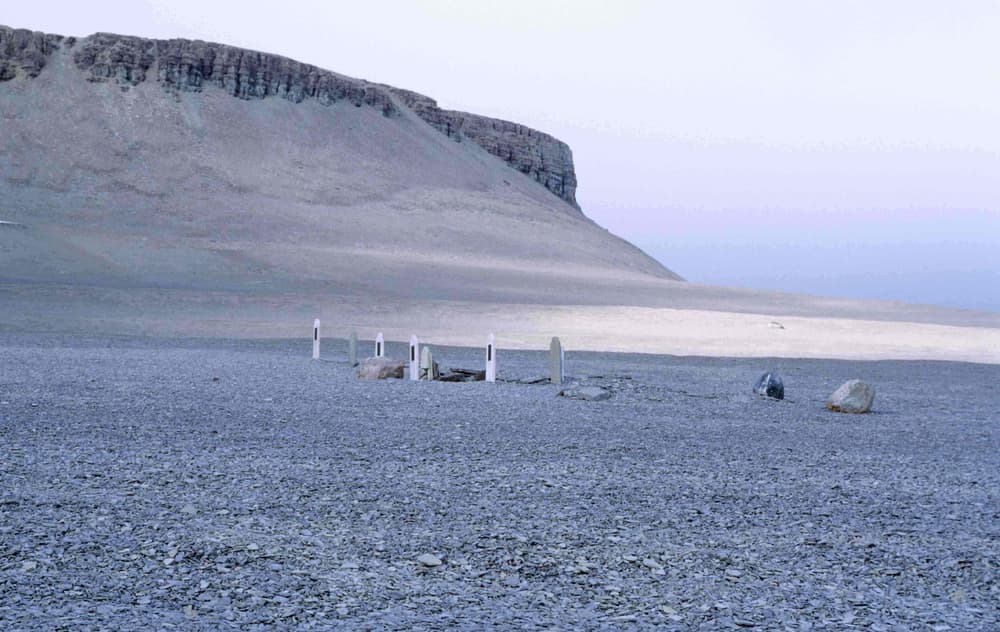
There is one striking exception. Since 2017 an all-season gravel highway has run from Inuvik to Tuktoyaktuk in the Northwest Territories, making it possible to drive from southern Canada to the shore of the Arctic Ocean. At the other end of the scale are expedition cruises through the Northwest Passage, following the route that defeated Franklin and that Amundsen finally completed in 1906. Organised day tours are rare in the far north; the bookable products are in gateway towns such as Yellowknife, Whitehorse and Churchill.
Highlights
- Dipping a hand in the Arctic Ocean at the end of the road in Tuktoyaktuk
- The Dempster Highway across the Arctic Circle in autumn colours
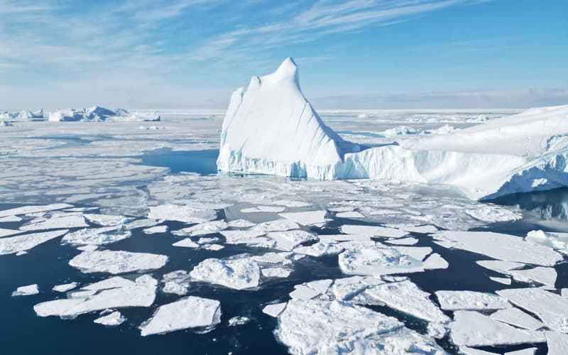
- Narwhals and belugas at the floe edge off north Baffin Island
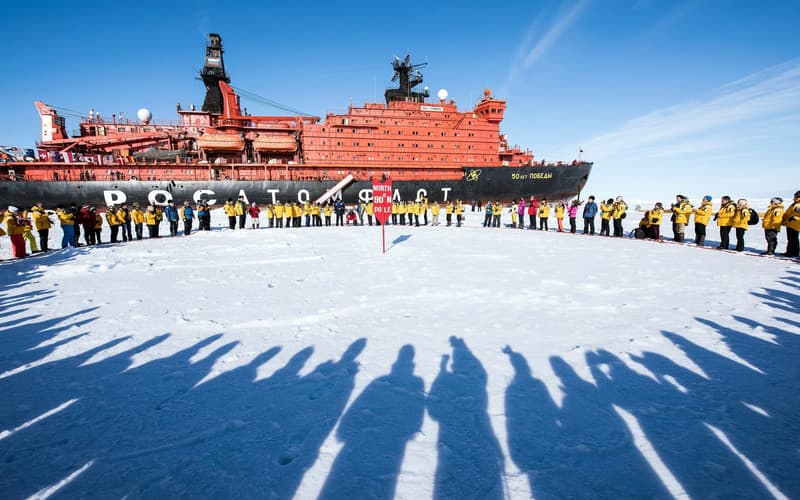
- An expedition voyage through the Northwest Passage
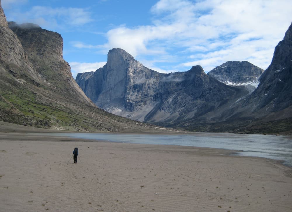
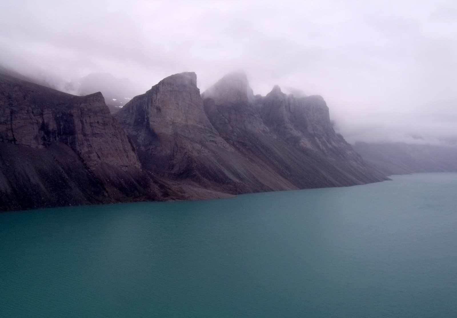
- The sheer granite of Mount Thor in Auyuittuq National Park
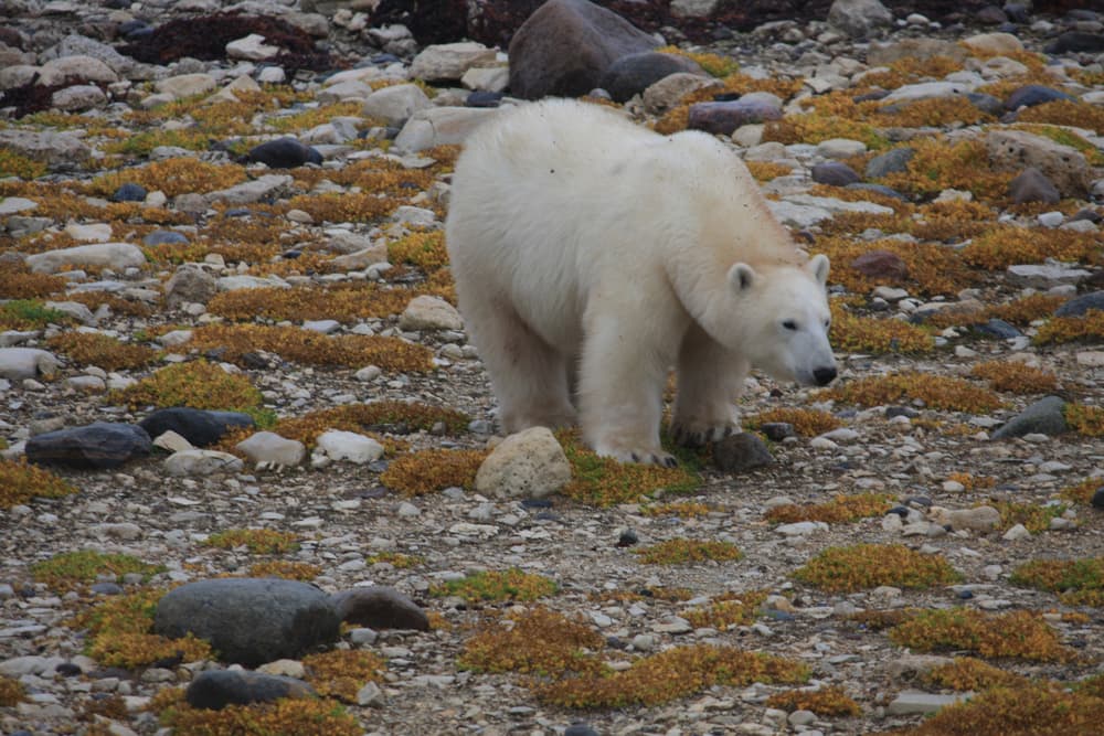
- Polar bears on the tundra at Churchill in October and November
Arctic Canada: planning your time
Pick one region — the distances between them are continental. The western road trip (Whitehorse or Dawson City to Inuvik and Tuktoyaktuk) takes a week to ten days by rental car in summer. Baffin Island means flying to Iqaluit and onward to a community such as Pond Inlet or Pangnirtung for a guided package of about a week. The Northwest Passage is a cruise of two weeks or more, booked a year ahead. Churchill is a separate trip of three to five days from Winnipeg.