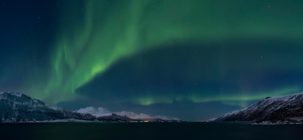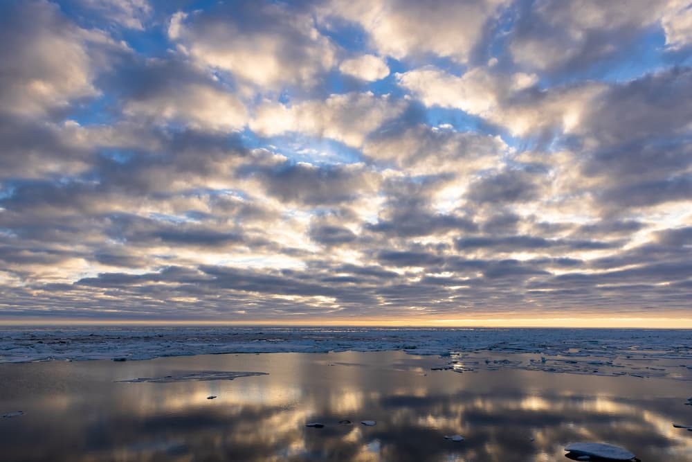
The Arctic Ocean is a nearly enclosed sea of about 14 million square kilometres centred on the North Pole — roughly one and a half times the size of the United States, and the smallest of the five oceans by a wide margin. Its average depth is only around 1,000 metres, because almost a third of it lies over continental shelf, but the central basins plunge to more than 5,000 metres. Two narrow gates connect it to the rest of the world: the Bering Strait to the Pacific, 85 km wide and about 50 metres deep, and the much larger gap between Greenland and Norway that lets in the Atlantic.
For travellers, the open centre of the ocean is almost out of reach — only icebreakers go there. What you visit are its edges: a ring of marginal seas, each with a different character, a different ice regime and a different gateway town. Knowing which sea you are looking at explains a good deal about what you will see.
The seas of the Arctic Ocean
| Sea | Where | Character | Reached from |
|---|---|---|---|
| Barents Sea | North of Norway and north-west Russia, east of Svalbard | Shallow and rich in fish; its south-west stays ice-free all year thanks to Atlantic water | North Cape, Kirkenes, Svalbard |
| Norwegian Sea | Off the Norwegian coast north to Svalbard | Deep, relatively warm water that keeps Norway’s fjords open in winter; often grouped with the Arctic ‘Nordic Seas’ | Tromsø, Alta and Hammerfest |
| Greenland Sea | Between Greenland, Svalbard and Iceland | Cold current carrying pack ice south along Greenland; the main exit for Arctic sea ice | East Greenland, North Iceland, west Svalbard |
| Baffin Bay and Davis Strait | Between Greenland and Baffin Island | Iceberg alley: most North Atlantic icebergs are born on its Greenland shore | West Greenland (Disko Bay), Pond Inlet |
| Canadian Arctic Archipelago | The channels between Canada’s northern islands | The Northwest Passage; ice-choked for most of the year | Arctic Canada by expedition ship |
| Hudson Bay | Deep inside Canada | A huge, shallow inland sea that freezes completely each winter | Churchill |
| Beaufort Sea | North of Alaska and north-west Canada | Slow clockwise gyre of old ice; open along the shore in late summer | Tuktoyaktuk, Prudhoe Bay |
| Chukchi Sea | Between Alaska and Siberia, north of the Bering Strait | Shallow gateway for Pacific water, walrus and bowhead whales | Utqiaġvik |
| East Siberian, Laptev and Kara Seas | Along the north coast of Russia | Very broad, shallow shelves; the ‘ice factory’ where much sea ice forms | Not currently recommended |
| White Sea | An inlet of the Barents Sea in north-west Russia | Almost landlocked; freezes in winter | Not currently recommended |
| Central Arctic Ocean | The deep basins around the Pole | Permanent, drifting pack ice over water up to 4–5 km deep | North Pole voyages |
Geographers draw the boundaries differently: some count the Norwegian Sea and Hudson Bay with the Atlantic. We include every sea a traveller is likely to meet on an Arctic journey.
Sea ice
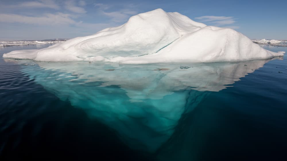
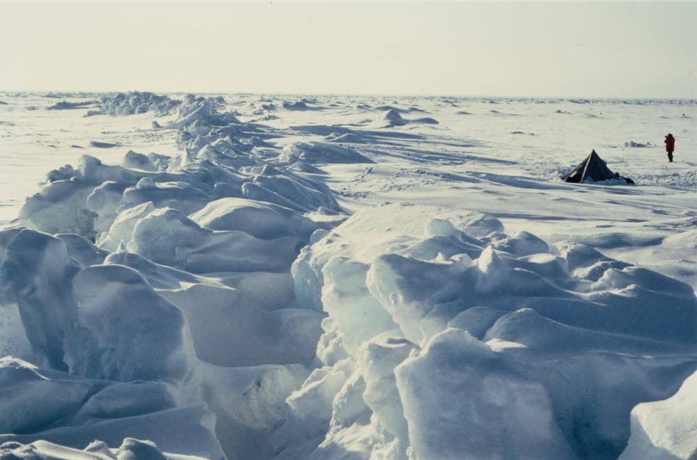
Sea ice is frozen seawater, as distinct from icebergs, which break off glaciers on land. It forms each autumn as the surface cools, thickens through the winter to between one and two metres, and reaches its greatest extent in March, when it covers some 14 to 15 million square kilometres. Through the summer it melts back to a minimum in mid-September. Ice that survives a summer becomes harder, thicker multi-year ice; wind and currents break the pack into floes, open leads of dark water between them and pile it into pressure ridges.
Since satellite measurements began in 1979, the September minimum has shrunk by roughly an eighth per decade relative to the long-term average, and the ice has become younger and thinner. Recent minima have been around 4 to 5 million square kilometres, against 6 to 7 million in the 1980s. The Arctic is warming several times faster than the global average. For the people and animals that live on and from the ice, this is the central fact of the present age; for a visitor it means later freeze-up, earlier break-up and less predictable conditions than any guidebook can keep up with.
Currents and climate
Warm, salty Atlantic water flows north past Norway and Svalbard — the reason Tromsø’s harbour never freezes and Longyearbyen, at 78° north, is milder than much of central Canada 2,000 km further south. Cold, fresher water and ice leave the ocean mainly down the east coast of Greenland. Inside the basin, the Transpolar Drift carries ice from Siberia across the Pole towards the Fram Strait, while the Beaufort Gyre turns slowly north of Alaska. In the 1890s Fridtjof Nansen deliberately froze his ship Fram into the ice to ride that drift.
Light
Because the Earth’s axis is tilted, the regions around the Pole face the sun continuously in summer and are turned away from it in winter. The Arctic Circle, at about 66°34′ north, is the line where the sun stays up for one full day at the June solstice and stays down for one at the December solstice; the periods lengthen with latitude to six months each at the Pole. The low sun gives hours of golden light, and the long twilights of spring and autumn are among the Arctic’s great beauties. See when to go for dates.
A short history of exploration
People have lived on these shores for thousands of years; the ancestors of today’s Inuit spread from Alaska to Greenland about a thousand years ago. Europeans came looking for a short cut to Asia. Willem Barents found Spitsbergen in 1596; the search for a Northwest Passage cost Sir John Franklin and his 128 men their lives after 1845; Adolf Erik Nordenskiöld completed the Northeast Passage in 1878–79; and Roald Amundsen finally sailed the Northwest Passage in a small herring boat between 1903 and 1906.
The Pole itself was claimed in 1908 and 1909, by Frederick Cook and Robert Peary, in accounts that are still disputed. The first people certainly to see it were aboard the airship Norge in 1926. A submarine passed beneath it in 1958, and a Soviet icebreaker reached it on the surface in 1977. In 2019–20 the research ship Polarstern drifted with the ice for a year, in the largest Arctic expedition ever mounted.
Who lives here, and who governs
About four million people live north of the Arctic Circle, the great majority in Russia and northern Scandinavia. Roughly one in ten is Indigenous — Inuit, Iñupiat, Sami, Nenets, Chukchi and many other peoples. Eight states have territory in the Arctic and work together, with Indigenous organisations, in the Arctic Council, founded in 1996.
Unlike Antarctica, the Arctic has no single treaty. The ocean is governed by the law of the sea: coastal states control waters up to 200 nautical miles from their shores, and the central basin beyond is high seas. An international agreement in force since 2021 bars commercial fishing there until more is known about its ecosystems.
Seeing the ocean for yourself
The simplest view of open Arctic water is from North Cape. For drifting sea ice, take a boat or expedition cruise from Svalbard; for icebergs, go to Disko Bay; to put a hand in the water at the end of a road, drive to Tuktoyaktuk; and for the pack itself, all the way to 90° north, see the North Pole page.
Arctic Ocean FAQs
Is the Arctic Ocean frozen all year?
No. Its central part is covered by drifting ice all year, but the marginal seas are largely open in summer, and parts of the Barents and Norwegian Seas never freeze.
What is the difference between sea ice and an iceberg?
Sea ice is frozen seawater, a few metres thick at most. Icebergs are pieces of freshwater glacier ice that have broken off into the sea, and can be hundreds of metres deep.
Can you swim in the Arctic Ocean?
Briefly. Surface water is between about minus 1.8 and plus 8°C in summer. ‘Polar plunges’ are a tradition on expedition ships and at Tuktoyaktuk and Prudhoe Bay — always supervised and very short.
Will the Arctic Ocean become ice-free?
Most scientific projections expect the first ice-free Septembers within the coming decades, with the timing depending on future emissions. Winter ice will continue to form.
Is there land at the North Pole?
No. The Pole is in the middle of the ocean, on moving ice above water more than 4,000 metres deep.