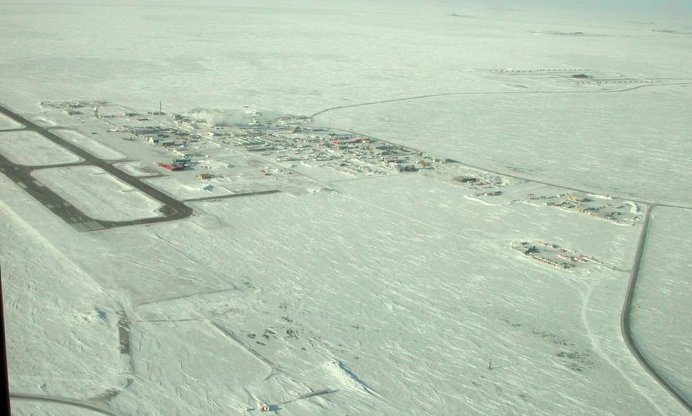
North of the Brooks Range, Alaska slopes down across treeless tundra to the Chukchi and Beaufort Seas. This is the North Slope: an area the size of a large European country with only a few thousand residents, most of them Iñupiat whose communities have hunted bowhead whales from the sea ice for well over a thousand years. Its largest town, Utqiaġvik — called Barrow until 2016 — stands at 71° north, with no road leading to it.
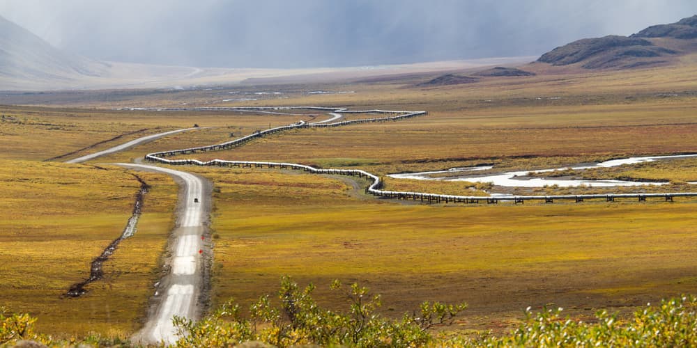
There are two ways to reach the ocean here. You can fly to Utqiaġvik and walk down to the beach; or you can travel the Dalton Highway, 666 km of mostly gravel built in 1974 to supply the Prudhoe Bay oilfield, which crosses the Yukon River, the Arctic Circle and the Brooks Range before ending at the industrial camp of Deadhorse, from where a security-cleared shuttle covers the final kilometres to the shore. Both start, for practical purposes, in Fairbanks, where the day tours are.
Highlights
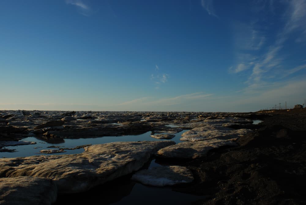
- Standing at the top of the United States on the beach at Utqiaġvik
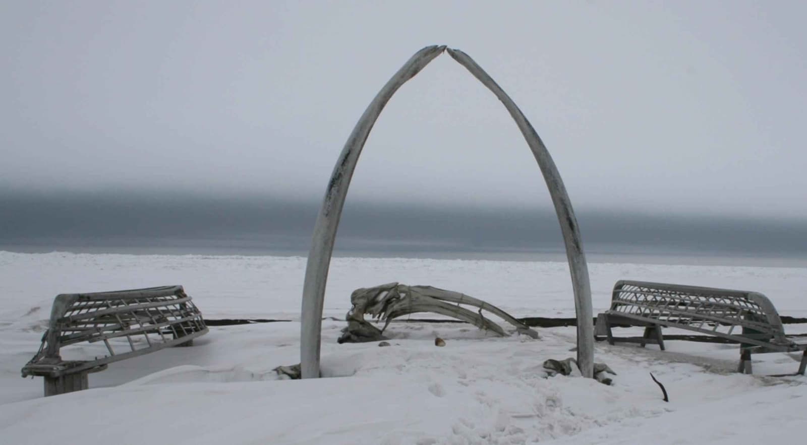
- The whale bone arch and the Iñupiat Heritage Center
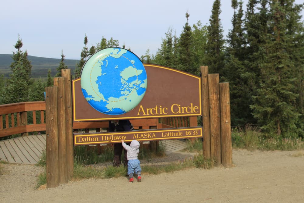
- Crossing the Arctic Circle on the Dalton Highway
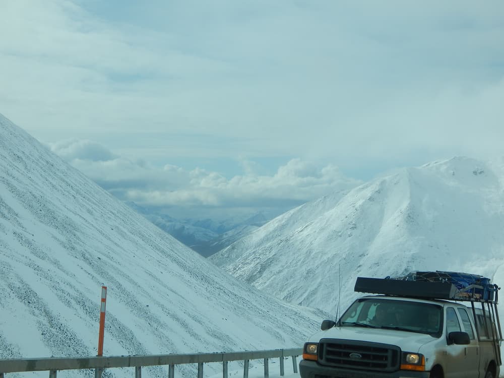
- Atigun Pass and the sudden emptiness of the North Slope
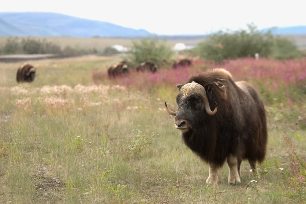
- Caribou, musk oxen and snowy owls on the tundra
- Northern lights from Coldfoot or Fairbanks in winter
Arctic Alaska: planning your time
For a first visit, base yourself in Fairbanks and choose one objective. A fly-in visit to Utqiaġvik takes two nights and shows you an Arctic Ocean community. The Dalton Highway can be sampled on a long day trip to the Arctic Circle, or done properly over three to five days to Deadhorse and back, often driving one way and flying the other. Trying to do both in a week is possible but leaves no margin for weather.