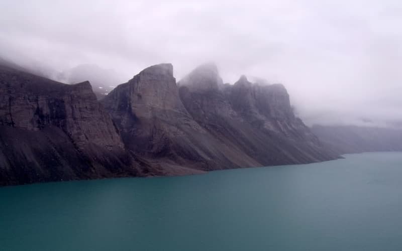
 Arctic North America
Arctic Canada
Nunavut, the Northwest Passage and the road to Tuktoyaktuk on the Beaufort Sea: Inuit homelands, narwhals and polar bears across a third of the Arctic coastline.
Two sights on the coast, four along the highway and the wilderness to either side.
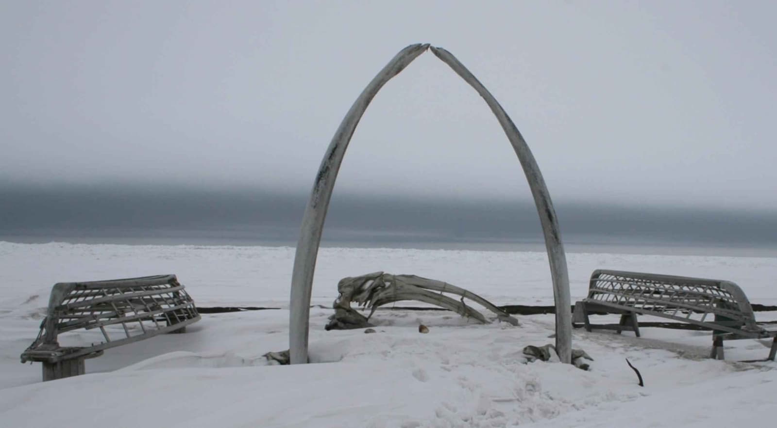
A town of about 4,500 people beside the Chukchi Sea, the seat of the North Slope Borough and one of the oldest continuously inhabited places in North America. On the beach stands an arch made from the jawbones of a bowhead whale, flanked by the frames of skin boats. The Iñupiat Heritage Center explains whaling culture and has a workshop where artists carve baleen and ivory.
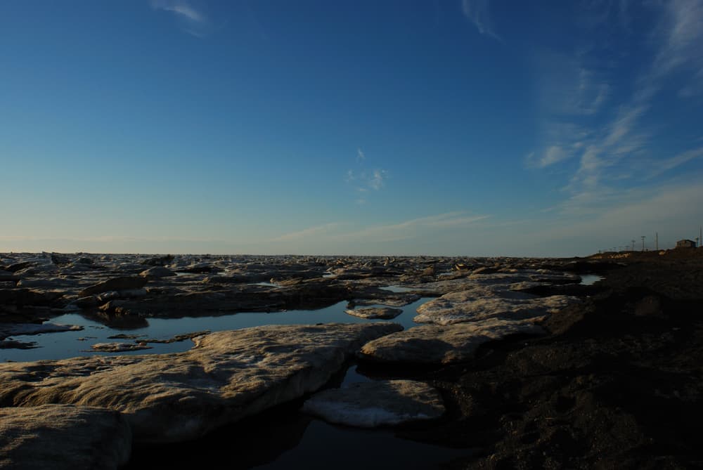
Nuvuk, a low gravel spit about 15 km north-east of town, is the northernmost point of the United States and the place where the Chukchi and Beaufort Seas meet. The track is soft sand and gravel, and polar bears are regularly present, drawn by whale remains: go only with a local guide in a suitable vehicle.
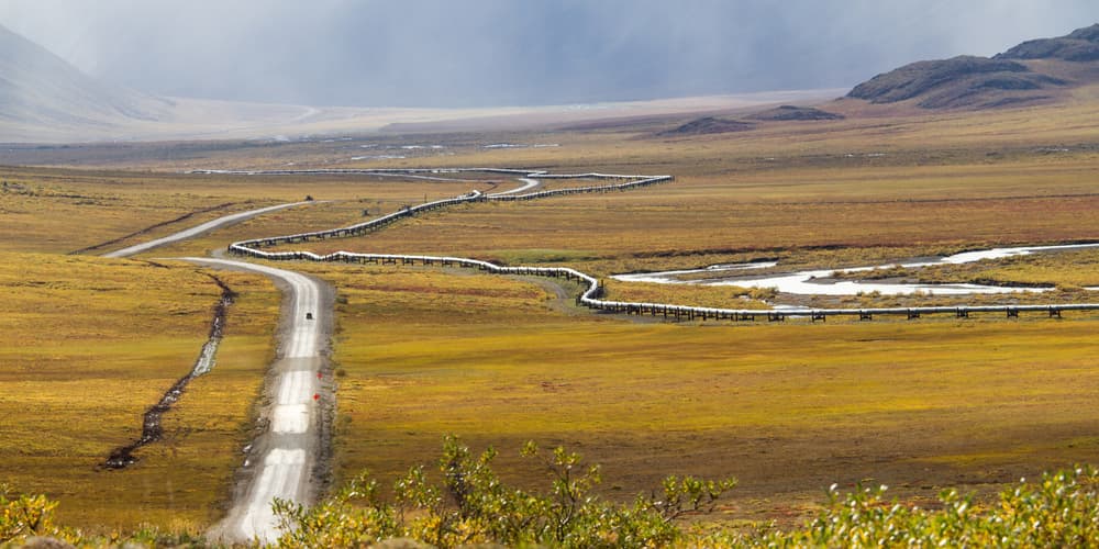
Known to truckers as the Haul Road, the Dalton begins 135 km north of Fairbanks and runs 666 km to Deadhorse, shadowed all the way by the Trans-Alaska Pipeline. It is narrow, steep in places, mostly unpaved and shared with heavy trucks, with services at only three points. It is also one of the great wilderness drives of the world.
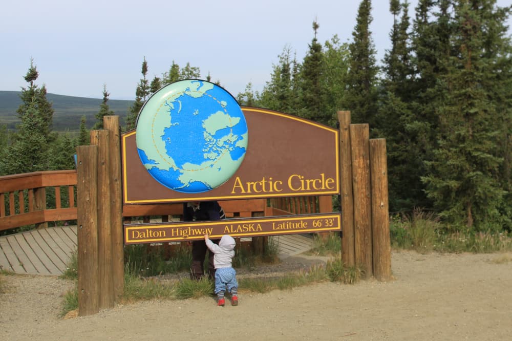
A sign and a small picnic area mark the Circle at mile 115. Coldfoot, 95 km further on, is a truck stop with rooms, fuel and a fine visitor centre run by the land agencies; the old gold-mining village of Wiseman is nearby. In winter this stretch is one of Alaska’s best places for aurora.
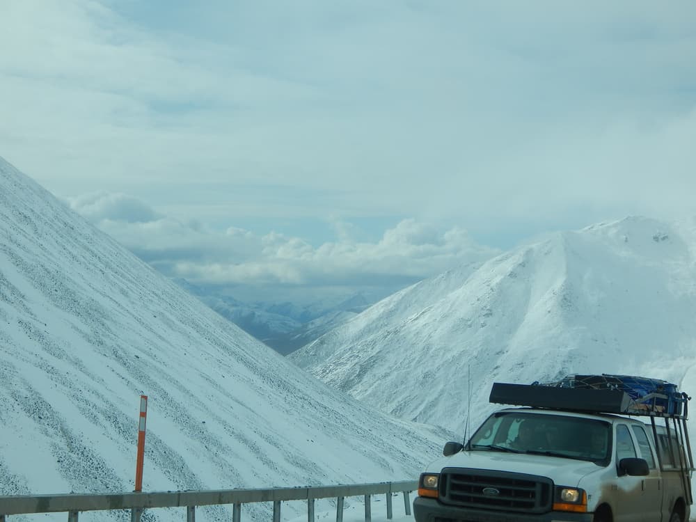
North of Coldfoot the road climbs past the last spruce tree to Atigun Pass, at 1,444 metres the highest highway pass in Alaska and the continental divide between Pacific and Arctic drainage. Dall sheep graze the slopes. Beyond, the mountains fall away to open tundra.
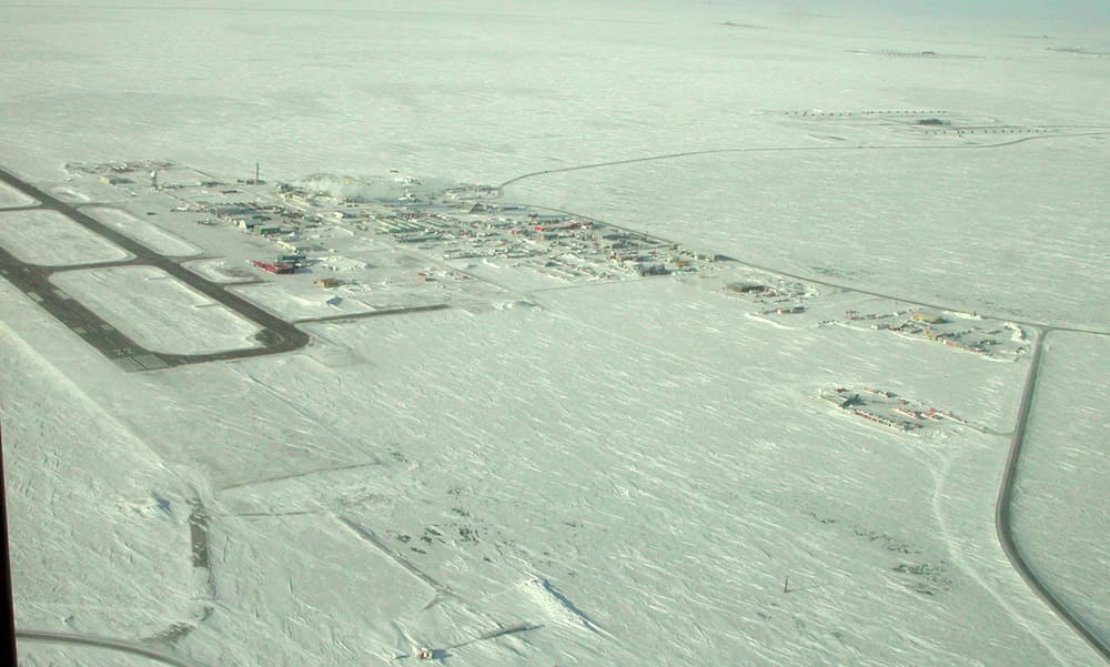
The road ends at Deadhorse, a working camp of prefabricated buildings serving North America’s largest oilfield. The shore of the Beaufort Sea lies about 13 km further on inside the secured field; a shuttle tour runs there in summer for visitors who have booked and been cleared in advance. Many take a quick, cold swim.
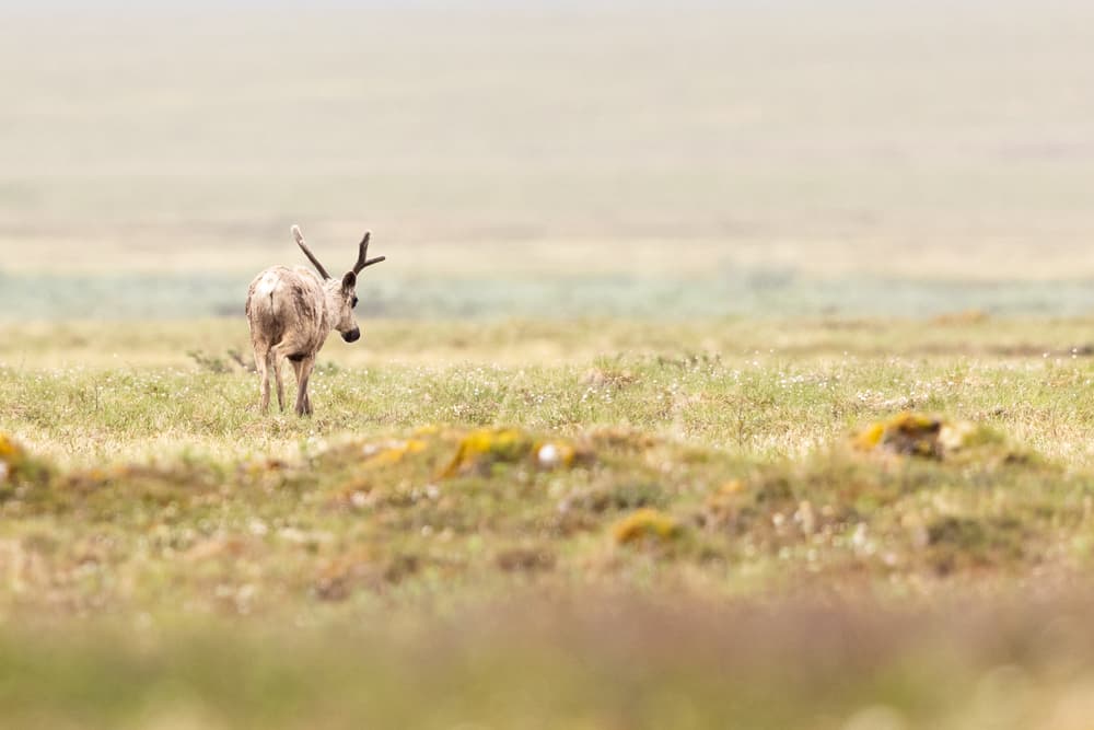
To the west of the highway lies Gates of the Arctic National Park, to the east the Arctic National Wildlife Refuge — together an area larger than many countries, with no roads or trails. Caribou herds migrate across both. Access is by bush plane from Coldfoot, Bettles or Fairbanks with experienced outfitters.
Arctic North America Nunavut, the Northwest Passage and the road to Tuktoyaktuk on the Beaufort Sea: Inuit homelands, narwhals and polar bears across a third of the Arctic coastline.
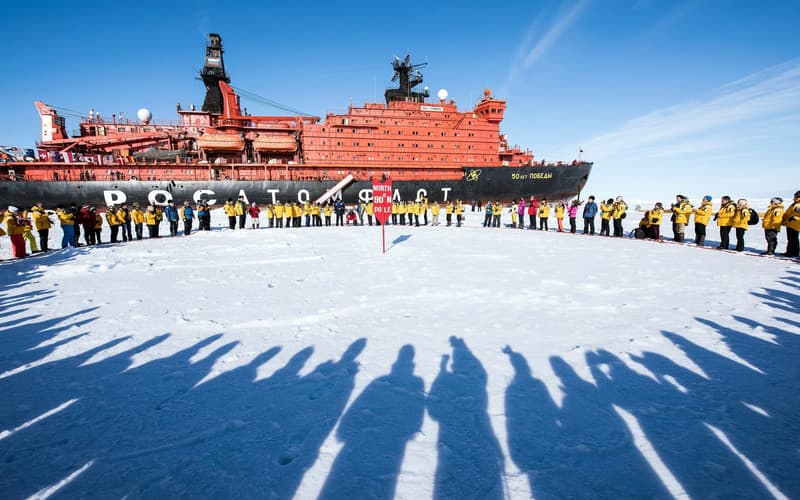 The Pole & Russia
90° north: a point on drifting sea ice above four kilometres of ocean, reached only by icebreaker or by ski-plane and helicopter — the most exclusive journey in the Arctic.
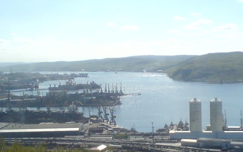 The Pole & Russia
Half of the Arctic Ocean’s coastline, from Murmansk to Wrangel Island — described here for understanding, not as a recommendation: most Western governments currently advise against travel to Russia.
Compare real-time prices and availability on GetYourGuide. Most tours can be cancelled free of charge up to 24 hours ahead.